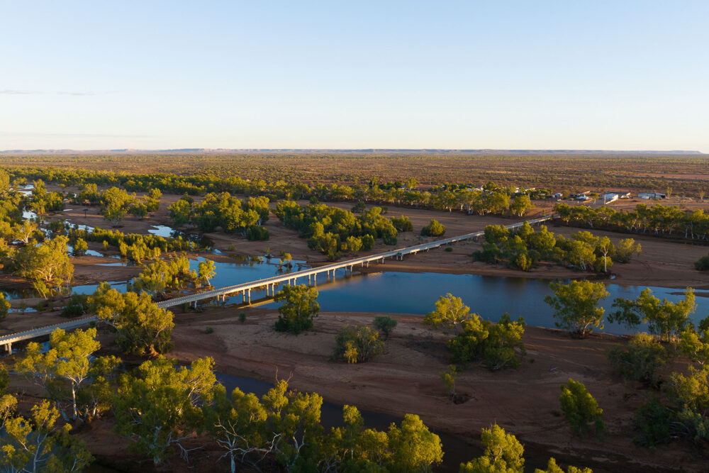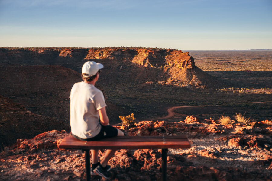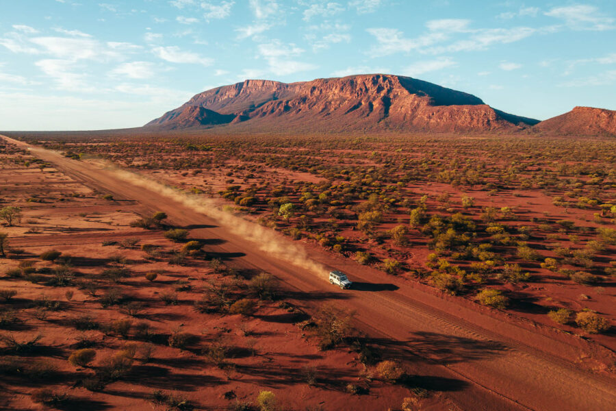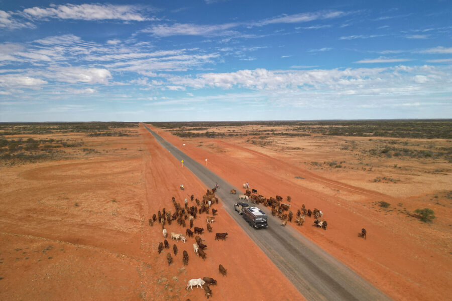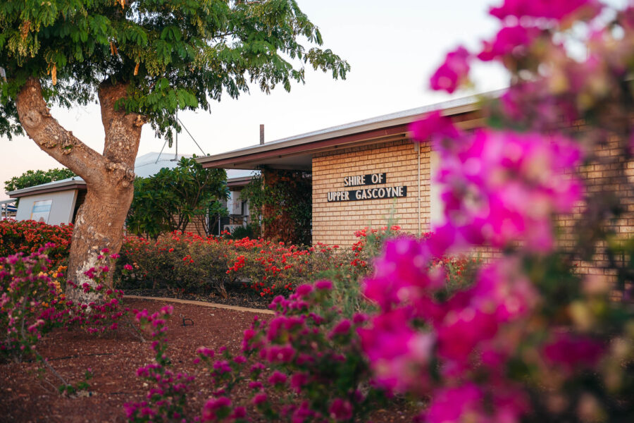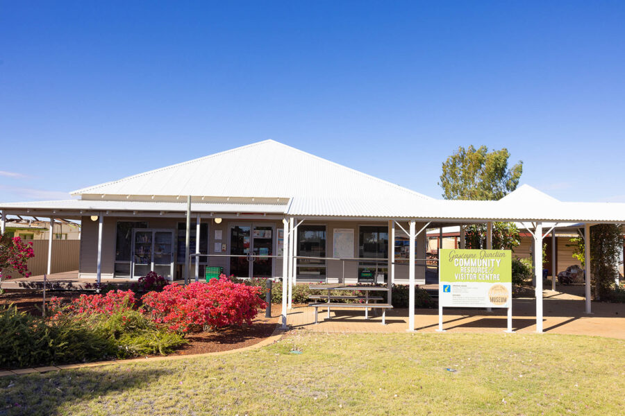
The Shire of Upper Gascoyne encompasses Gascoyne Junction, Burringurrah Community, Woodgamia Community, Kennedy Range and Mount Augustus.
The Shire is approximately 57,809 square kilometres in size, with Gascoyne Junction itself being 176km east of Carnarvon.
The district is traversed by the Gascoyne and Lyons Rivers and their tributaries and contains two National Parks – Mt. Augustus (containing the world’s largest monocline rising to 1,106 metres above sea level) and the Kennedy Range.
Drive Distances