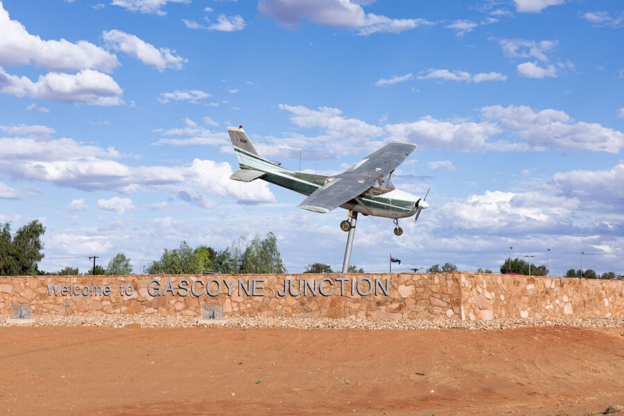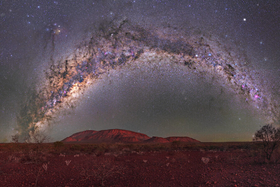
Mount Augustus National Park, Western Australia is located approximately 300km north east of Gascoyne Junction and is known as Burringurrah by the local Wajarri Aboriginal people. There are three routes that travellers can take from Gascoyne Junction to reach Mount Augustus varying from 288km to 317km.
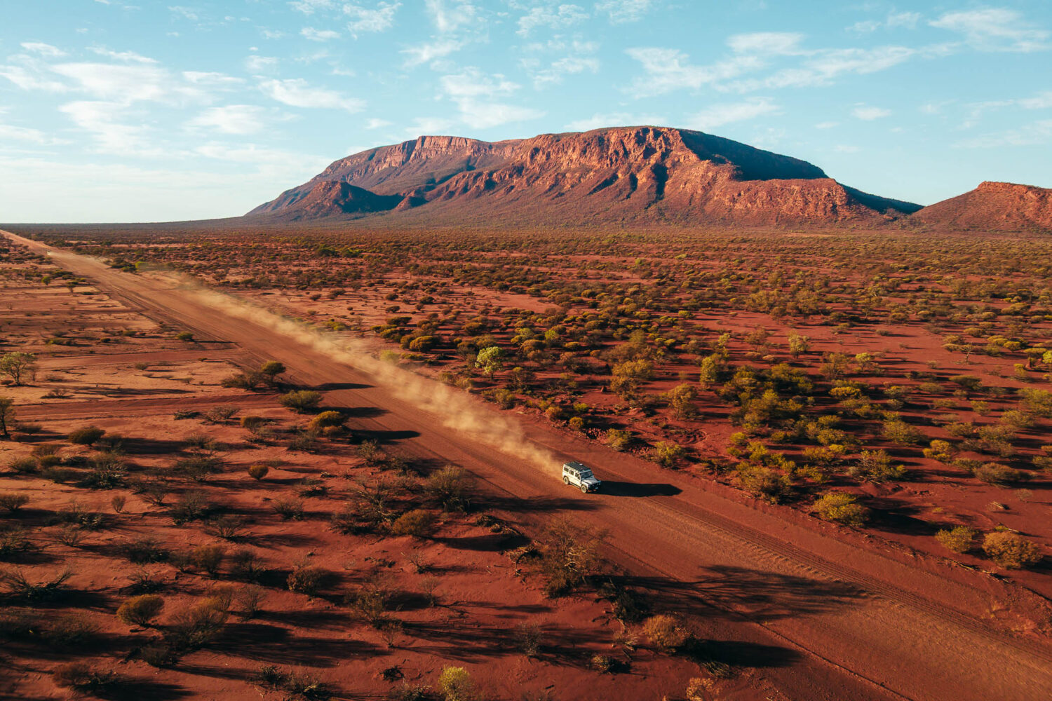
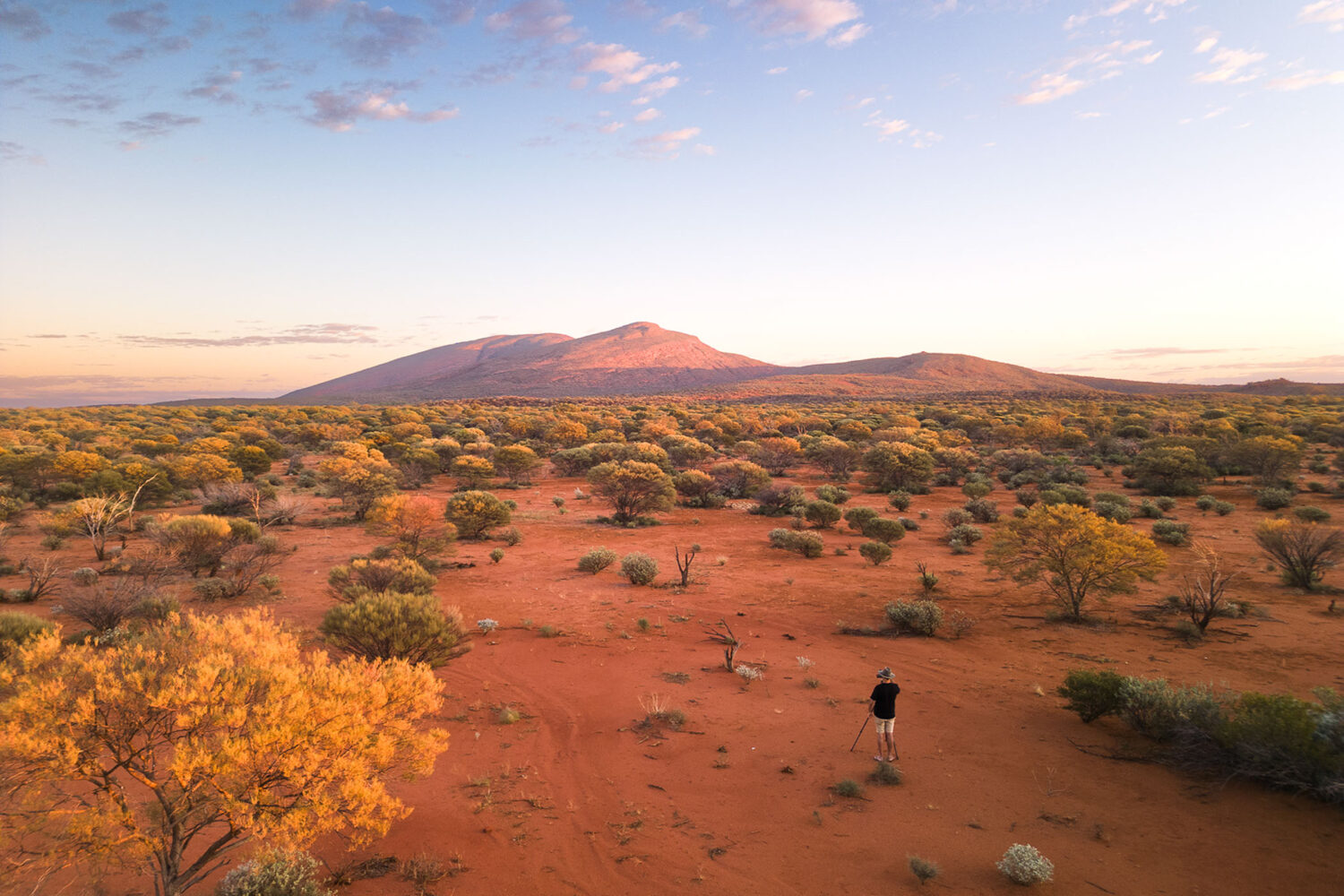
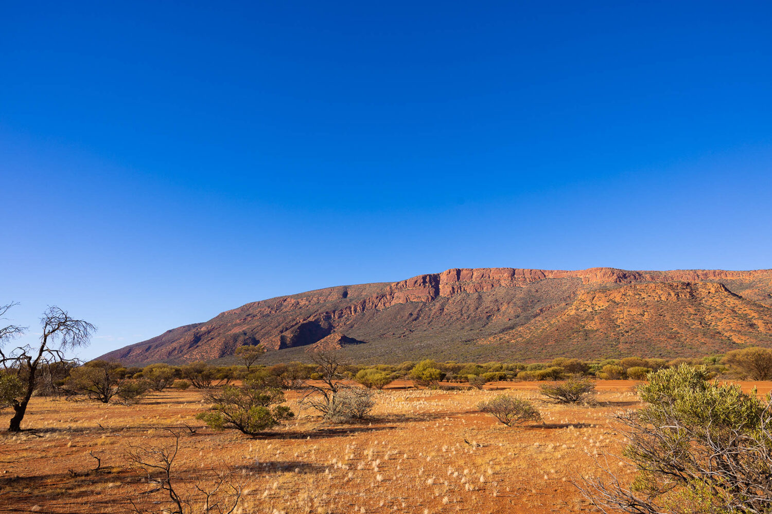
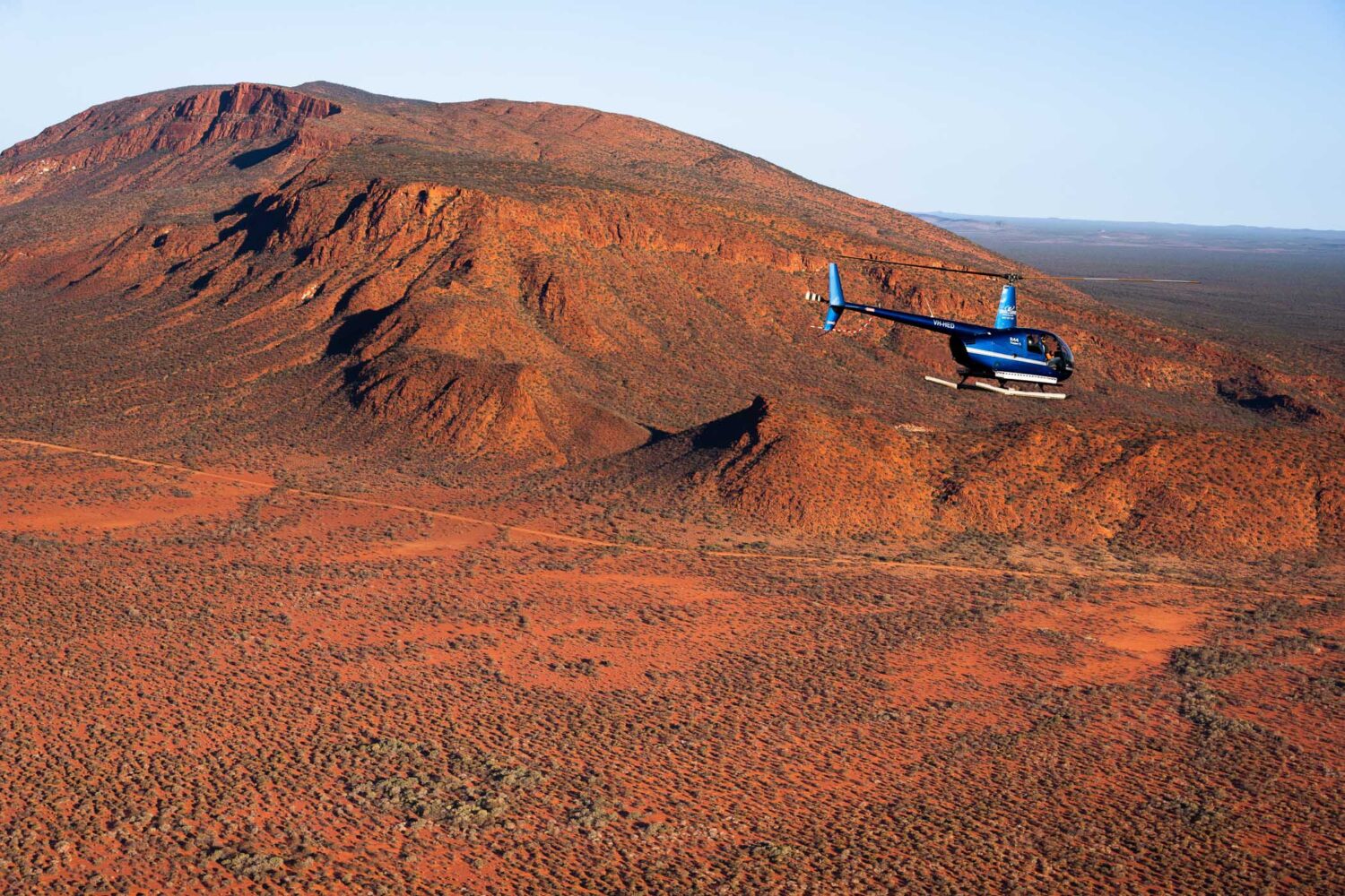
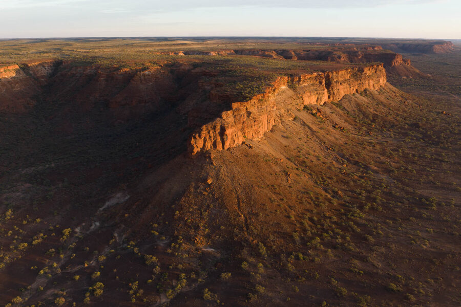
Mount Augustus is one of the most spectacular solitary peaks and the world's largest monocline. It rises above a stoney, red sandplain of arid scrubland and is visible from the air for more than 160kms. The granite formation is about 8kms long, covers an area of 4,795 hectares and is estimated to be 1,750 million years old.
The area around Mount Augustus is the traditional lands of the Wajarri tribe. Burringurrah is the Wajarri name for Mount Augustus. Aboriginal habitation is evident by the engravings on rock walls at Mundee, Ooramboo and Beedoboondu visitor sites.
Francis Thomas Gregory was the first non-indigenous person to climb to the summit on 3rd June 1858 during his epic 107 day journey through the Gascoyne region. Some weeks later he named the peak after his brother, Augustus Charles Gregory, later Sir Augustus (1819 - 1905).

Getting to Mt Augustus
Mount Augustus is a two day drive from Perth via Carnarvon or Meekatharra. The park is 465km from Carnarvon via Gascoyne Junction. The 176km road between Carnarvon and Gascoyne Junction is sealed but all other roads in the area are unsealed. Be aware that there are long distances between settlements, supplies and services – this is outback Australia.
- From Gascoyne Junction:
- Ullawarra Road & Cobra Mt Augustus Road past Kennedy Range National Park: 310kms
- Cobra Dairy Creek Road on the Kingsford Smith Mail Run: 288kms (Approximately 40kms sealed road on first leaving Gascoyne Junction on the Carnarvon Mullewa Road)
- Landor Mt Augustus Road: 317km (Approximately 40kms sealed road on first leaving Gascoyne Junction on the Carnarvon Mullewa Road and a further 10km before turning onto Landor Mt Augustus Road)
The Loop Drive and all access roads are generally suitable for two-wheel drive vehicles. Drive to the road conditions and obey road closures and speed limits.
Park Map
For further information on Mount Augustus National Park visit exploreparks.dbca.wa.gov.au.
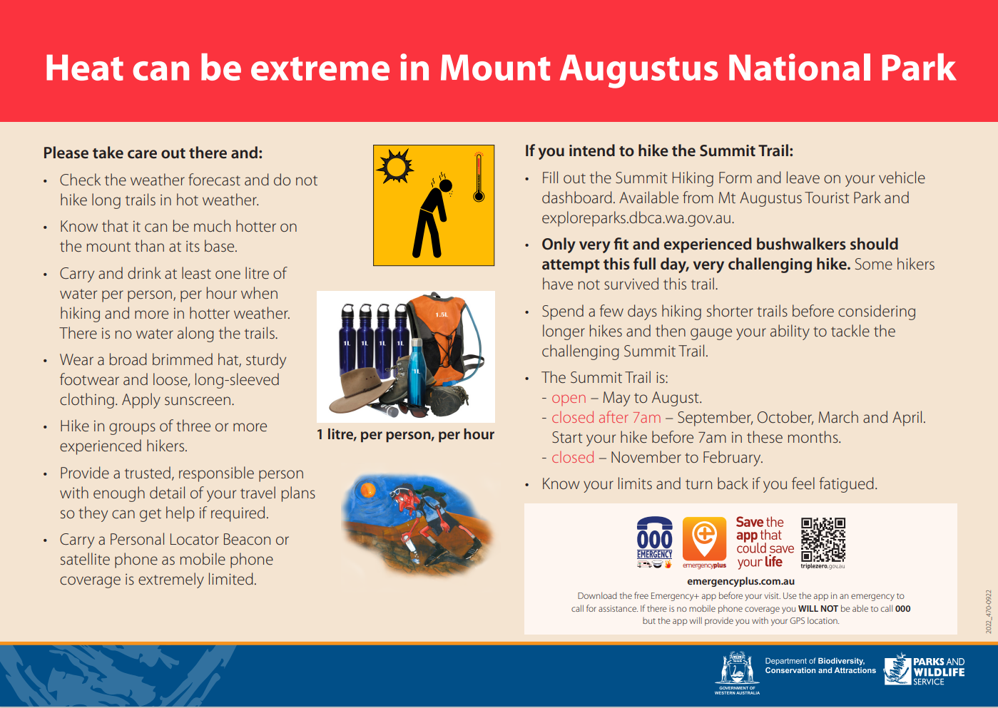
Seasonal Closures Summit Trail Mount Augustus National Park